WeatherBELL Premium

Additions and Enhancements to WeatherBELL Maps
Expanded ECMWF Data
WeatherBELL continues to be a leader in weather data visualization and the premier destination for ECMWF data and graphics. We are pleased to offer these upgrades to our ECMWF offerings:
HRES (Control)
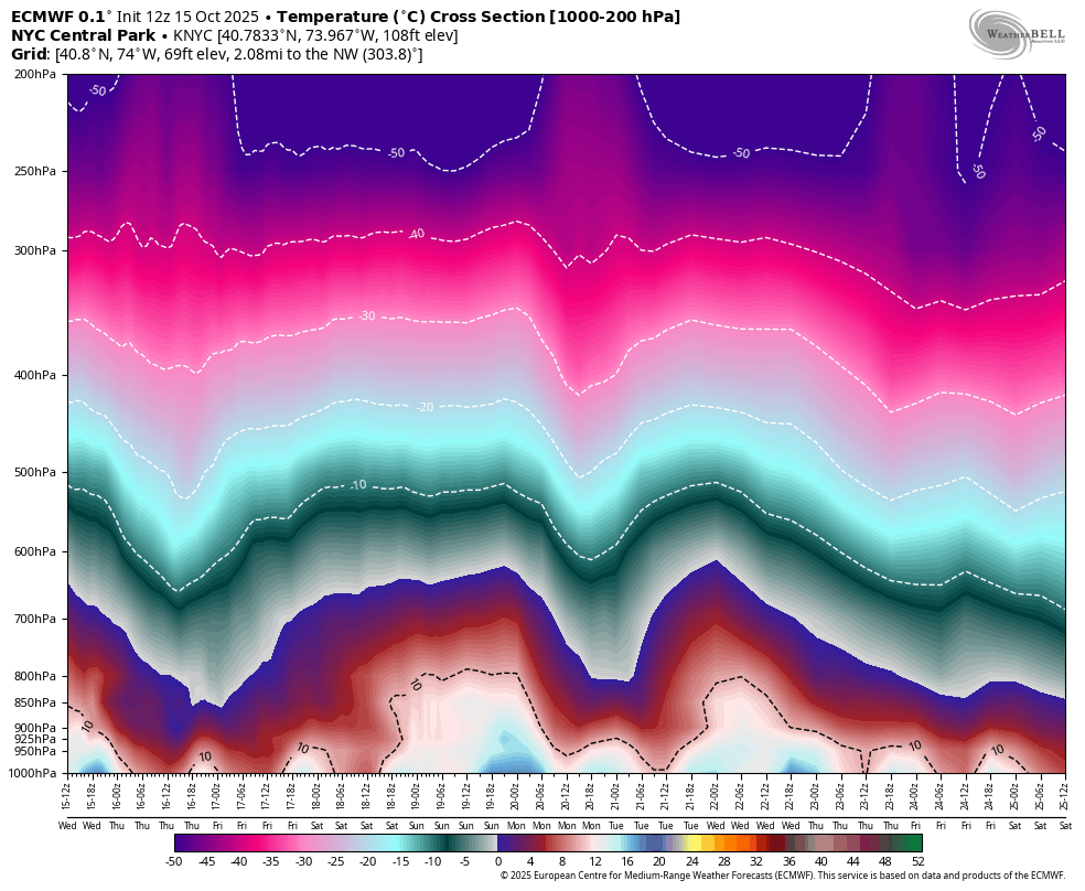
Upper air and wave data are now offered at full spatial and time resolution, i.e., 0.1°; hourly data through 90 hours. The increased time resolution allows for the more granular evaluation of weather systems in the short range, increased precision for some calculations (e.g., Kuchera snowfall ratio), and more detailed point data outputs.
Ensemble
- Increased temporal resolution. We now offer data at 3-hourly intervals from 0-144 hours.
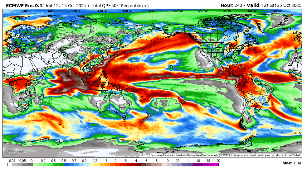
- Spatial coverage. We now offer global coverage of surface fields at full 0.1° resolution
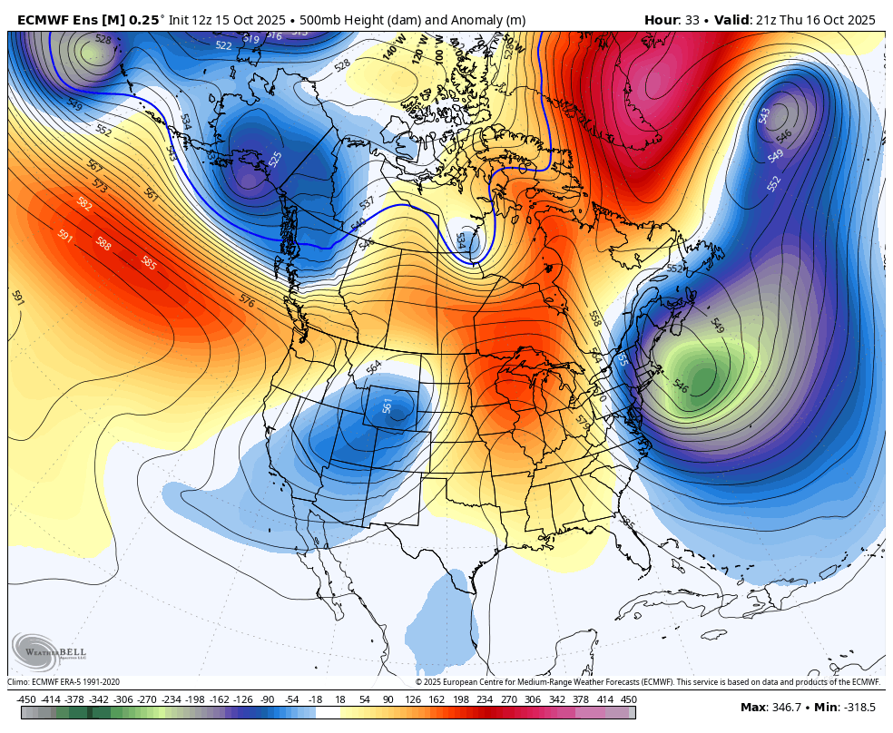
- Increased upper air data resolution. We now offer upper air data at 0.25° resolution.
Data Processing Improvements
We have made some upgrades to our data ingest systems to accommodate the larger data volumes and to speed up processing. WeatherBELL receives ECMWF data with pre-schedule delivery. In combination, these allow us to rapidly and efficiently generate our catalog of ECMWF products.
RRFS
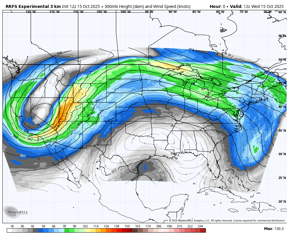
In anticipation of NCEP’s implementation of the RRFS into operations (Date TBD), WeatherBELL is now making its full product suite available for the RRFS model.
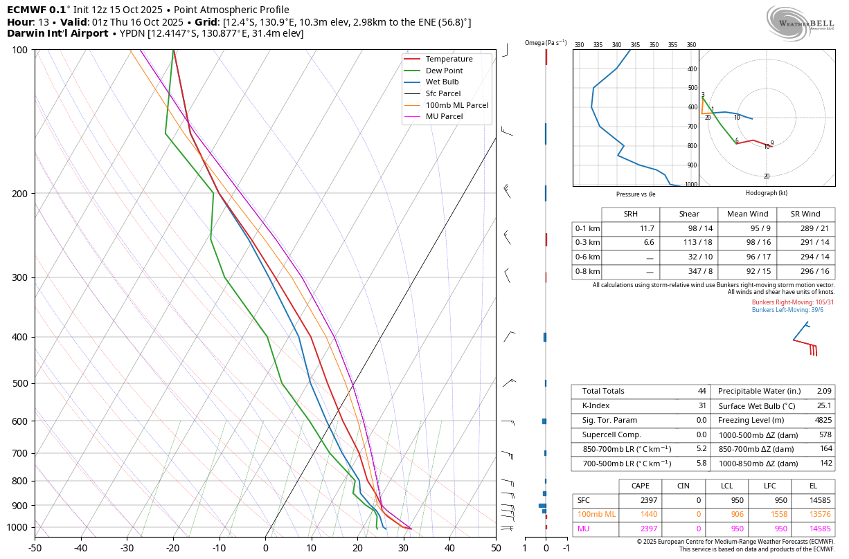
Model Soundings
Upper air profiles, i.e., model soundings, are now available globally.
Upcoming Additions
Stay tuned for further updates and announcements regarding the following products!
- ECMWF Ensemble Precipitation Type Products
- NBM v5. This new and exciting upgrade to the National Weather Service’s National Blend of Models (NBM) is expected to be implemented in April 2026. Please see the following for more information.