Final Summer Forecast 3 years ago
May 24, 2023
- El Niño is coming on.
- There is only one cold PDO and El Niño combination (2009).
- A blend of all the El Niños looks like a blend of modeling.
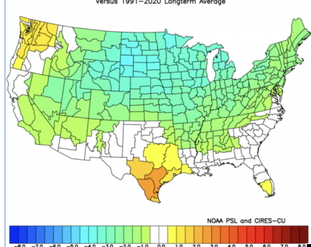
The analog package is adjusted from the pure numbers:
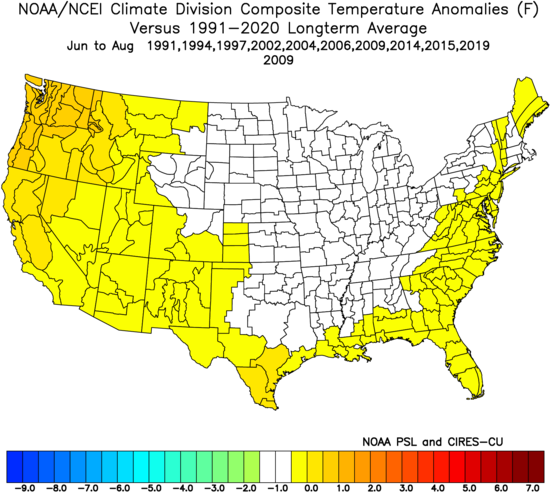
The actual analog, unadjusted:
.png)
The SSTs have never been this warm globally. We have a cold PDO signature, though, and that combination of an El Niño and cold PDO has only happened once before in 2009.
The Euro:
.png)
CFSv2:
.png)
Canadian:
.png)
You can see the Canadian looking like the 2009 sample. The 2009 El Niño with the cold PDO had a heck of a winter behind it:
.png)
There are indications that SSTs next winter are going to be almost the opposite of this year. There is a writeup on WeatherBell Premium about that. As far as the hurricane season goes, here is the link to the current idea: https://www.weatherbell.com/april-hurricane-impact-forecast
As far as the intensity of the El Nino, the CFSv2 and Canadian are making this a strong El Niño:
.png)
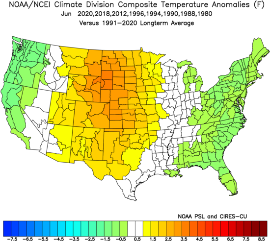
June
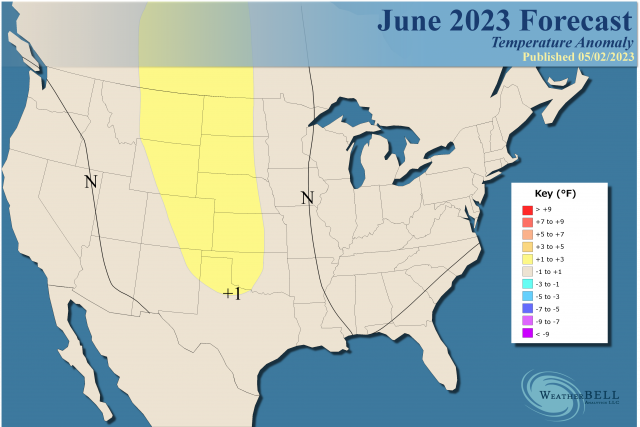
Analog:
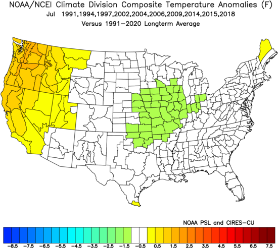
July
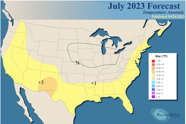
Analog:
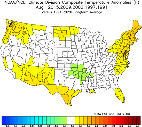
August
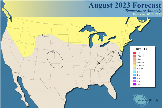
Analog:
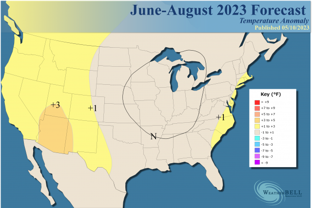
The Verdict
We have an area of cooler-than-average weather centered over the Ohio Valley for the summer. The forecast is the blend of the modeling and the analogs and they are adjusted up. Remember, it's highly likely that what warmth there is for most places is going to be via nighttime lows rather than excessive daytime heat. Adjusting analog temperatures up and also allowing for warm nights goes along with recent decadal trends.